Antique Maps of Colonial Brisbane and Queensland: 1880s Exploration Cartography
Written by Iris
My love of antique prints began with maps, and the maps that began it were of Queensland. I was living in Rockhampton at the time, renovating an old Queenslander, and when it came time to fill the freshly painted walls, I started looking for prints that connected to where I was. That hunt led me to the colonial maps of Brisbane and Queensland, and from there, to nearly everything else I have ever loved about this trade.
If you are drawn to the story of how Australia came to be mapped, or you live in (or are from) Brisbane or anywhere in Queensland, there is something quite special about an antique map of the country you call home. Let me tell you a little about what is out there and how to find a piece that resonates.
A Quick History of Queensland Cartography
Queensland separated from New South Wales in 1859 and became a colony in its own right. The decades that followed saw an extraordinary push to map the new colony's coastline, its rivers, its growing towns, and the vast interior that European Australians were only beginning to explore.
These maps are more than navigational records. They are documents of a young colony figuring itself out. The streets of Brisbane appear, expand, and re-organise across editions. New towns are pencilled in along the railway lines. The Great Dividing Range slowly fills in with detail. Reading these maps is a little like watching Queensland grow up.
Most of the colonial Queensland maps you will find today come from a handful of key sources, and knowing them will help you recognise what you are looking at.
The Picturesque Atlas of Australasia (1886 to 1888)
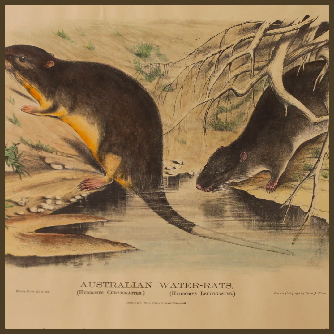
Of all the sources of colonial Queensland imagery, the Picturesque Atlas of Australasia is probably the most important. Published in Sydney by the Picturesque Atlas Publishing Co. between 1886 and 1888 under the editorship of Andrew Garran, it was a vast three-volume work containing more than 800 illustrations and detailed text describing every corner of Australia and New Zealand as it stood in the late nineteenth century.

The Brisbane and Queensland sections are extraordinary. They include views of Queen Street, Brisbane (then the heart of the young capital), the Parliament House, the Botanical Gardens, Kangaroo Point and Bowen Terrace, St Mary's Outer Gate, Port Darwin (then administered from Queensland), and many more. The illustrations were drawn by artists including William Crowther Fitler, Frederick B. Schell, and J. C. Armytage, and engraved by master craftsmen of the period. Most prints are wood engravings, with some steel engravings and a few hand-coloured pieces.
If you would like to see what we currently have from this period, take a look at the Picturesque Atlas of Australasia Collection.
Tallis Maps of Australia
John Tallis and Company was a London publisher of beautifully decorative maps, active in the mid-nineteenth century. Tallis maps are recognisable instantly: the cartography is detailed and accurate, but it is surrounded by ornate vignettes of local scenes, native animals, indigenous people, and decorative borders. They are some of the most striking decorative maps ever produced.
Tallis published several maps that include Queensland, both as part of larger maps of Australia and as a separate sheet for Victoria (which historically also depicted Queensland in regional context). The vignettes on Tallis maps of Australia often show kangaroos, emus, aboriginal scenes, and views of Sydney Harbour. A genuine Tallis map is a wonderful piece for a study or a hallway, and the vignettes alone are worth slow study.
You can browse our Tallis Map Collection for current pieces.
Steel Engravings and Wood Engravings of the Colonial Period
Beyond Garran's Picturesque Atlas and the Tallis sheets, many smaller maps and town views were produced by London publishers (Virtue and Co. was a prolific one) for various illustrated histories of Australia. Names you will encounter on the plates include J. C. Armytage, William Crother Fitler, Frederick Schell, and J. Carr (who often engraved Armytage's work).
These pieces typically appeared as illustrations in books such as Australia Illustrated (1874), bound between text pages, and have since been carefully removed and offered as individual prints. They are usually steel engravings or wood engravings, often hand-coloured later by a previous owner or framer, and they capture Brisbane and Queensland at a very specific moment in its development.
What to Look For in a Genuine Piece
A few quick markers, in case you are evaluating a colonial map or view:
The paper. Genuine pieces from the 1870s and 1880s are on heavier, slightly textured paper, often with some natural toning at the edges from age. Modern reproductions are on uniform white machine-made paper.
The printing. Wood engravings have a distinctive crisp linework that you can feel almost dimensionally on the paper surface. Steel engravings have very fine, parallel hatching lines. Modern offset reproductions show a regular dot pattern under a loupe.
The plate information. Most genuine colonial maps and views have publication information at the bottom or in the margin: the publisher's name, the artist, the engraver, and sometimes a date. If a piece is described as "antique" but has no plate information at all, ask more questions.
The story behind it. Every genuine piece I sell has documented provenance: where it came from, what source publication it is from, what the technique is, what condition it is in. If a seller cannot tell you that, you might be looking at a reproduction sold under another name.
At Antiquarian Print Shop, every original piece is researched and documented. Reproductions are clearly labelled as reproductions. That has been our promise for twenty-five years.
Why a Colonial Queensland Map in a Modern Home
There is something deeply grounding about a map of the place you live, drawn by the hand of a Victorian cartographer one hundred and forty years ago. It is a window onto how the same streets, the same river bends, the same coast looked to people who walked them when the city was new.
I have hung antique Brisbane maps in entry halls, in studies, in libraries, above stairwells, and even in a few kitchens. They are particularly powerful in homes that are themselves heritage. A Queenslander built in 1900 wears a Brisbane map from the 1880s like it always belonged there. Modern homes can carry one beautifully too, especially in spaces that want a moment of stillness and depth.
For collectors, a colonial Queensland map is often part of a larger Australian historical collection. For decorators, one well-chosen piece can anchor a room and start every conversation. For someone with deep family roots in Queensland, an antique map of the region your grandparents or great-grandparents knew can become a treasured heirloom.
Where to Begin
If you are looking for something specific, write to me. I have prints in the studio that have not yet been catalogued, and if you tell me what subject or region you are after (a particular suburb, a specific year, a Tallis decorative piece, a Picturesque Atlas view of a town you grew up in), I will look through what I have and let you know what is available. There is no obligation. iris@antiquarianprintshop.com is the best way to reach me directly.
You can also start by browsing our broader Maps Collection or the Australia Collection. Both are filterable by region and period.
There is nothing quite like finding the map that belongs on your wall. I hope this helps you find yours.
Happy browsing!
Iris