1
/
of
1
Antiquarian Print Shop
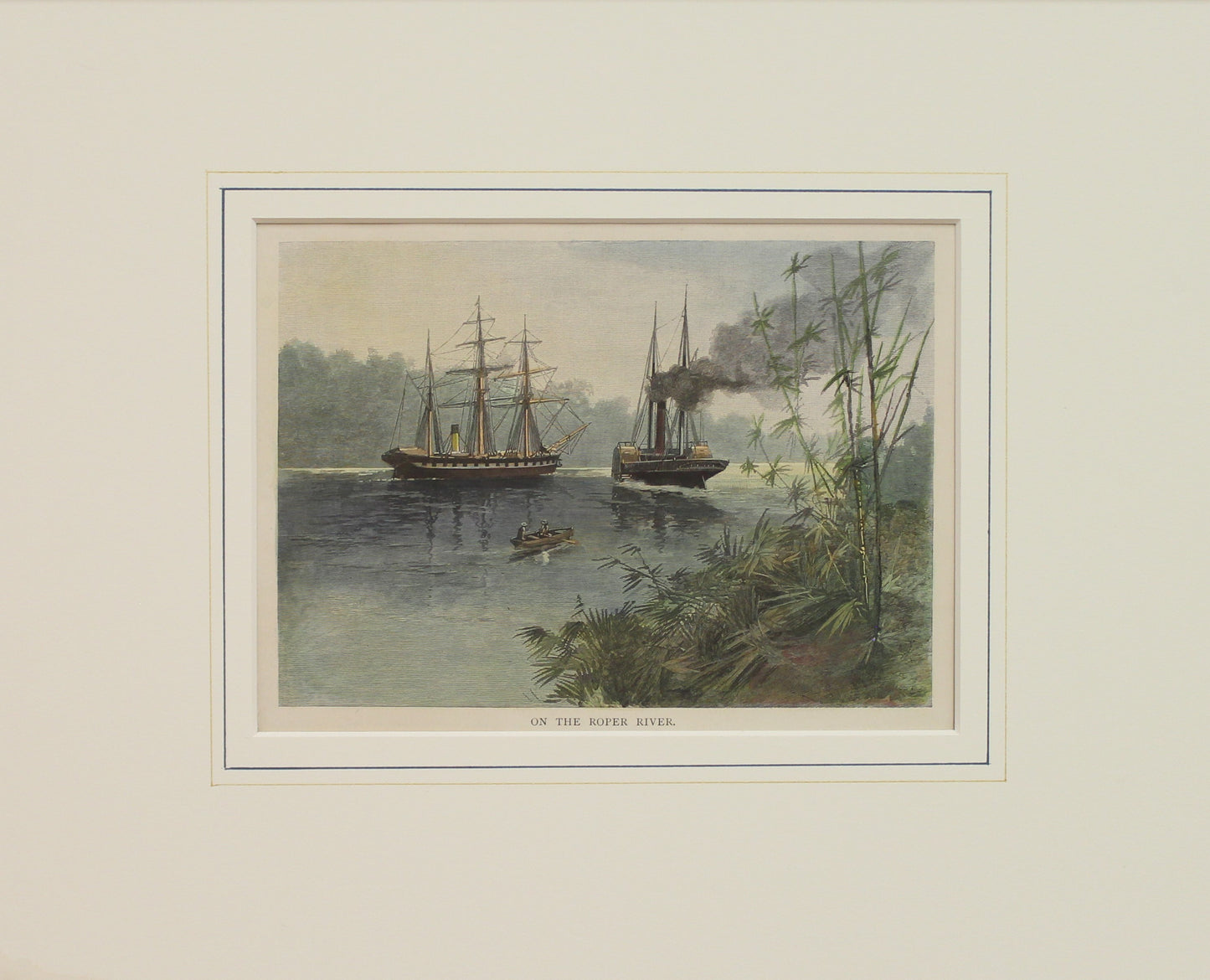
Australia, On The Roper River, Northern Territory, c1886
Australia, On The Roper River, Northern Territory, c1886
Regular price
$80.00 AUD
Regular price
Sale price
$80.00 AUD
Unit price
/
per
Taxes included.
Shipping calculated at checkout.
Couldn't load pickup availability
Print from Garran's The Picturesque Atlas of Australasia
Date: c1886
Publisher: Picturesque Atlas Publishing Co
Paper Size: 180 x 130mm
Condition: good
Technique: Wood Engraving
Price: $80
Description: Wood Engraving with later hand colouring
Provenance:
The Picturesque Atlas of Australasia
Published in Sydney in 1886-88, the enormous, multi-volume 'Picturesque Atlas of Australasia' was an attempt with words and pictures to describe the Australia of the time.
Its publication was one of the most significant cultural projects in 19th-century Australia. Writers, artists, academics, and politicians came together to prepare a book of unprecedented grandeur and ambition, and a publishing company was established to publish it. The 1100+ engravings on steel and wood contained in the Picturesque Atlas were among the finest engravings to be found anywhere in the world at this time, and many of the illustrations were specially commissioned works by leading Australian artists of the era, for the publication.
There are thirty maps in the Atlas's 800 pages, plus hundreds of sketches. The word 'picturesque' was popularised by William Gilpin, for it was he who really popularised the idea of traveling in search of picturesque views. Picturesque took on an increasingly acquisitive edge, as admiration of the beauty of the land was joined by a concern to exploit it. A 'deep reverence for production' can be seen in the Picturesque Atlas's many illustrations of mines, factories, and agricultural processes. The slag heaps of a mine were now as 'picturesque' as a fern-filled valley.
Of the hundreds of images included in the Atlas, you will find street scenes, monuments, churches, hills, seaside, farms, horses, scrub, country towns, ships, daily life activities, headstones, bridges, people, caves, aborigines, and mountains just to mention a few.
Though the Atlas was heavily dependent upon illustrations as its main selling point, these were set within texts describing the landscape, industry, and city streets. Photography was invented at the time of publication, and it has been said that a number of the engravings in the book were based on photographs, but it was chosen to use the engravings instead, even though it could take weeks to engrave on an 18 x 2.5cm block. By doing this just adds to the uniqueness and high quality of this publication.
A unique and valuable historical record of Australia, New Zealand, and the South Pacific.
Place of publication was in Sydney.
Share


