1
/
of
2
Antiquarian Print Shop
Map, Guilford Airport, Western Australia
Map, Guilford Airport, Western Australia
Regular price
$250.00 AUD
Regular price
Sale price
$250.00 AUD
Unit price
/
per
Taxes included.
Shipping calculated at checkout.
Couldn't load pickup availability
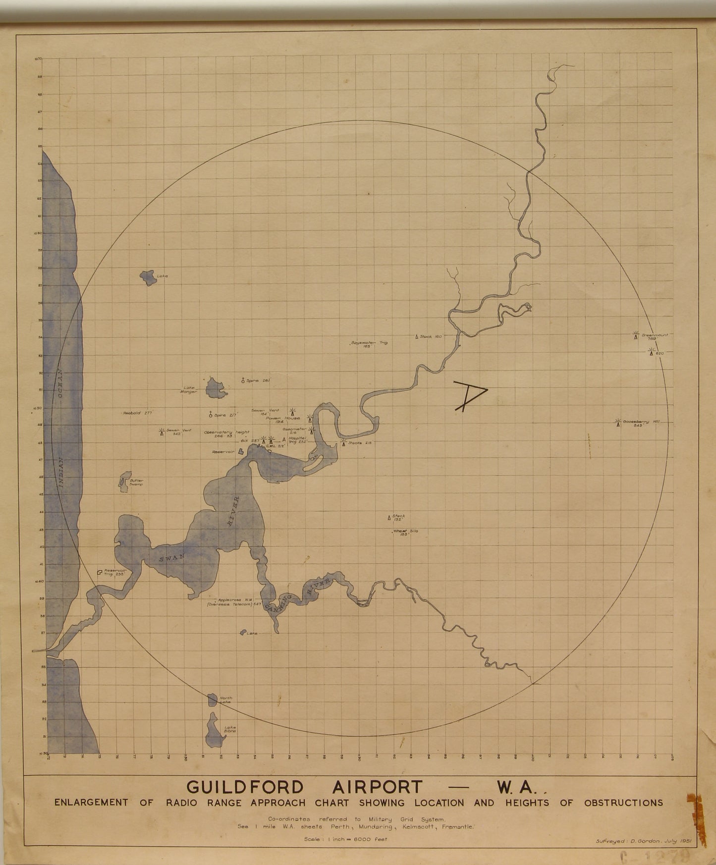
Guildford Airport, Western Australia C1951
Enlargement of Radio Range Approach Chart showing location and Height Obstructions
Co-ordinates referred to Military Grid System
See 1mille WA sheets, Perth, Mundaring, Kelmscott, Fremantle
Scale 1 inch =6,000feet
Date: July 1951
Surveyor: D Gordon
Paper Size: 620 x 520mm
Print Size: 590 x 495mm
Condition: Good.
This hand-drawn map has an unidentified mark on the bottom right-hand corner
Technique: Hand Drawing and Hand Colouring
Price: $250
Description: As above
Provenance:
None available to date
Share