Antiquarian Print Shop
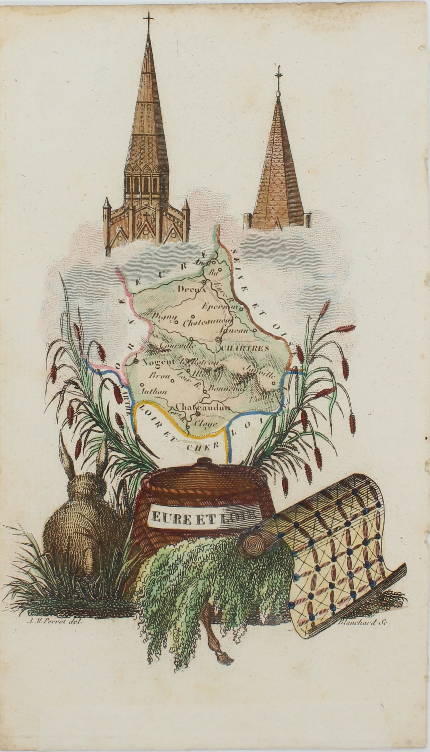
Map, Perrot Aristide Michel, EURE ET LOIR, Atlas des Departments de la France, c1825
Map, Perrot Aristide Michel, EURE ET LOIR, Atlas des Departments de la France, c1825
Couldn't load pickup availability
Date: 1825
Artist/ Cartographer/ Engraver: Perrot Aristide Michel
Paper Size: 130 x 80mm
Condition: Good. all antiquarian maps and prints are subject to some normal aging due to use and time which is not obtrusive unless otherwise stated. We offer a no questions asked return policy
Technique: Copperplate engraving with later hand colouring
Price: $150
Description: This is an authentic historic map, published at the date stated above. It is not a modern copy. There is nothing printed on the reverse side, which is plain
Provenance: "Atlas Portatif du Royaume de France, divisé en 86 départemens", par A.M. Perrot Geographe, Paris
Biography:
Perrot Aristide Michel
Aristide Michel Perrot (1793-1879) was a French geographer, cartographer and essayist. He specialized in making decorative miniature maps and in gazetteers. He was a member of the Société royale académique des sciences, and of the Société de géographie.some of He producd the fairly scarce French department maps (cartes Françaises départemental) from his Atlas Portatif du Royaume de France, divisé en 86 départemens (1823).
His other work includes County maps of Great Britain (1823), Atlas des Departments de la France (1825), Atlas des Routes de France (1826), Nouvel itinéraire portatif des Pays-Bas (1827), Petit atlas pittoresque des quarante-huit quartiers de la Ville de Paris (1834), Petit Atlas pittoresque des 48 quartiers de la ville de Paris (1835) & Atlas Général de France (1837)
Share