Antiquarian Print Shop
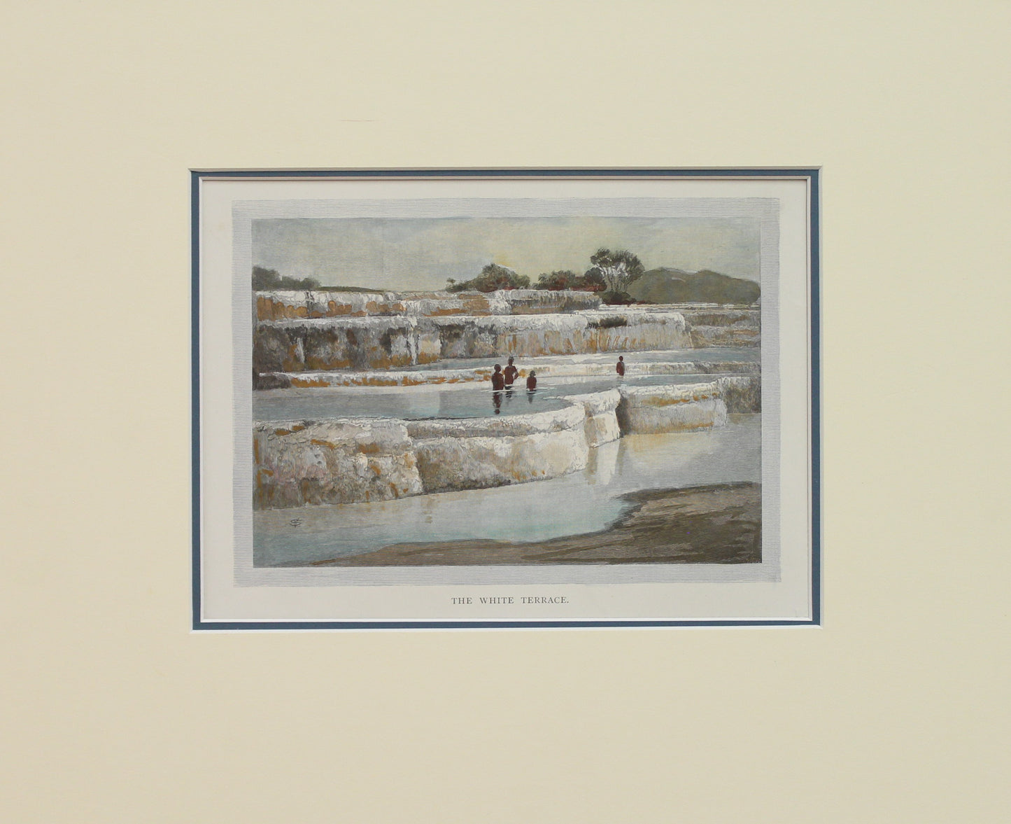
New Zealand, The White Terraces, Bay of Plenty, c1886
New Zealand, The White Terraces, Bay of Plenty, c1886
Couldn't load pickup availability
Print from Garran's The Picturesque Atlas of Australasia
Date: c1886
Artist: Schell, Frederick B
Publisher: Picturesque Atlas Publishing Co
Paper Size: 140 x 175mm
Condition: good
Technique: Wood Engraving
Price: $150
Description: Wood Engraving with later hand colouring
Provenance:
The Pink and White Terraces were formed by upwelling geothermal springs containing a cocktail of silica-saturated, near-neutral pH chloride water.
These two world-famous springs were part of a group of hot springs and geysers, chiefly along an easterly ridge named Pinnacle Ridge (or the Steaming Ranges by Mundy).
The main tourist attractions included Ngahapu, Ruakiwi, Te Tekapo, Waikanapanapa, Whatapoho, Ngawana, Koingo and Whakaehu.
The Pink and the White Terrace springs were around 1,200 metres (3,900 ft) apart.
The White Terrace was at the north-east end of Lake Rotomahana and faced west to northwest at the entrance to the Kaiwaka Channel. Te Tarata
The Pink Terrace lay four-fifths of the way down the lake on the western shore, facing east to south-east. The pink appearance over the mid and upper basins (near the colour of a rainbow trout) was due to antimony and arsenic sulfides, although the Pink Terrace also contained gold in ore-grade concentrations.
This Information was taken from Wikipedia
The Picturesque Atlas of Australasia
Published in Sydney in 1886-88, the enormous, multi-volume 'Picturesque Atlas of Australasia' was an attempt with words and pictures to describe the Australia of the time.
To read about The Picturesque Atlas of Australasia click here.
To read about Schell, Frederic B click here.
Share


